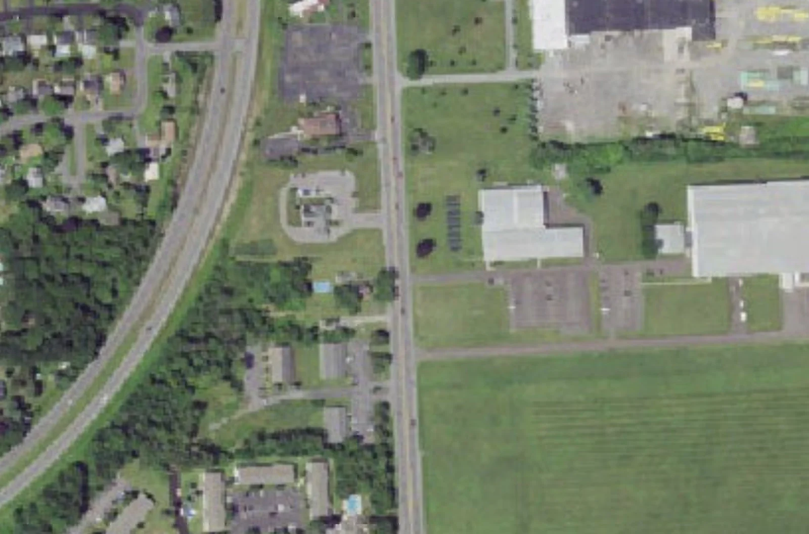
County planners reviewed the site plan on July 15 and recommended modifications. The filing says the new building is for inventory storage, would disturb 18.5 acres, and sits on land where 2.7 acres of wetlands were left off the referred maps.
Amazon already has a 3.7 million square foot regional distribution facility on Morgan Road in the Town of Clay. It now wants a second building about half a mile north of it.
This story came from public records we pulled ourselves
Get the next one, plus overnight incidents, in your inbox at 6 AM. Free, no spam.
The Onondaga County Planning Board reviewed the site plan on July 15 as case Z-26-166 and recommended modifications, the middle outcome in county review. The proposal is a 234,300 square foot warehouse on the east side of Morgan Road inside the Woodard Industrial Park.
The referral form gives the purpose in plain terms: additional inventory storage. County staff added that this is presumably related to the nearby regional distribution facility, and that word is the county’s, not a company statement.
The land, and how it gets carved up
The site today holds two commercial buildings and their parking lots in the northwest portion of the parcel, with lawn extending south and woodlands to the rear, where the property abuts National Grid power lines and then railroad lines belonging to NY Central Lines.
A re-subdivision map dated April 2026 reshapes it. A small 2.643 acre parcel along Morgan Road gets absorbed into the large parcel, and the existing commercial buildings get isolated onto their own lot.
The result is two proposed lots. Lot R-1A, at 39.738 acres, takes the northern portion and keeps the existing commercial buildings. Lot R-1B, at 37.000 acres, holds the vacant southern half. The warehouse goes on the vacant half.
Per the overall site keynote plan dated June 22, 2026, the building would sit near the Morgan Road frontage and cover roughly half the parcel, with parking and stormwater features between the building and the road.
The area around it is a split. Residential uses lie west of Morgan Road. Large warehouses and distribution facilities lie north and south.
Parking, docks and driveways
The parking count is specific: 245 regular spaces, 8 ADA spaces, and 57 spaces allocated to fleet parking. Those lots run along the front of the building and at the sides near the front. Crosswalks are shown connecting the lots to the building.
Tractor trailer loading runs along the southern side of the building near the rear, with 10 loading spaces and bays.
Access comes through an internal road circling the building, with two full access driveways onto Morgan Road. The northern one is four lanes, two in and two out. The southern one is two lanes, one in and one out.
That is where the county’s binding requirement lands.
What the county actually required
The board recommended modifications rather than issuing a no-impact determination. The modifications center on the county highway department.
The Onondaga County Department of Transportation requires the applicant to continue coordinating Morgan Road access with the department. To further meet department requirements, the applicant must submit a copy of the Stormwater Pollution Prevention Plan to the department for review. The municipality must ensure any mitigation the department determines is carried onto the plans.
A separate standing advisory applies to every driveway here: all existing or proposed driveways on Morgan Road must meet county transportation department requirements.
On sewers, the county’s Department of Water Environment Protection requires capacity assurance because the use is changing. And unless the applicant can demonstrate that anticipated sanitary flows will not exceed previous flows by more than one sewer unit over prior uses, it must develop a one gallon to one gallon sanitary flow offset plan in coordination with the municipal engineer.
That offset requirement is worth understanding. It means new flow has to be matched by removing flow somewhere else in the system. It exists because the sewer system has a ceiling.
The site sits in the Wetzel Road Wastewater Treatment Plant and Sawmill Pump Station service areas. A new connection to public sewers is proposed, tying into an existing 12 inch sewer main crossing the property, with a new 20 foot wide easement for the infrastructure. County WEP also advises that no permanent structures are permitted within the county easement.
Drinking water would come from the Town of Clay Uniform Water District. The facility is anticipated to require 2,200 gallons per day.
The wetlands that are not on the maps
The most striking line in the staff report is about what is missing from the drawings.
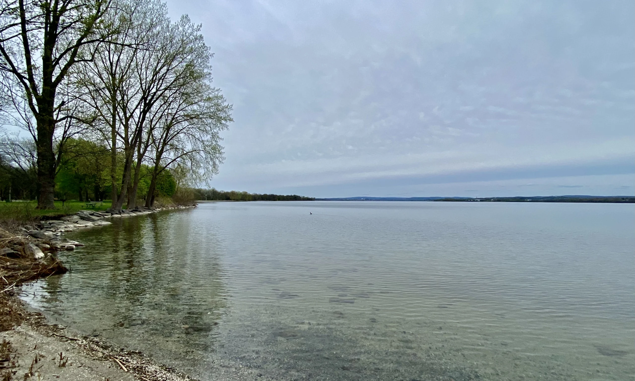
GIS mapping shows portions of the site may contain state and federal wetlands. Small patches of New York State informational wetland sit along the southern and northern parcel boundaries. A federally regulated riverine wetland crosses the northeast wooded corner of the site to connect to a federally regulated channel that appears to run along the rear parcel boundary.
Then the report states: wetlands are not depicted on the referred maps.
The Environmental Assessment Form says 2.7 acres of the site contains wetlands and that this will remain. But the county notes that jurisdiction and location of those wetlands is not discussed on the form.
So the acreage is asserted, the boundaries are not drawn, and the jurisdictional question of whether they are state or federal is unanswered in the filing the county received.
The advisory that follows is standard but consequential. Wetland regulations require permits from the state Department of Environmental Conservation and the U.S. Army Corps of Engineers for any development in, fill placed in, or drainage of a state or federal wetland, or a 100 foot state wetland buffer.
Ground disturbance, stormwater and a bat
The Environmental Assessment Form dated June 23, 2026 puts hard numbers on the earthwork. The project would physically disturb 18.5 acres and result in 12.03 acres of impervious surface.
Stormwater handling, per the overall drainage plan dated June 22, 2026, would use six biofilter swales around the perimeter of the parking and internal roadway, plus two wet ponds along the southern boundary of the subject area. The assessment form says stormwater will be directed to on-site stormwater management areas.
Because the project cumulatively disturbs more than one acre, it must be covered under the state SPDES permit, and the county advises the municipality to confirm those permits are in hand before approving.
There is also a species question. The site may contain the Indiana bat or its associated habitat, listed by the state or federal government as threatened or endangered, per the assessment form’s mapping tool. County staff note that impacts to bat species are often associated with tree clearing, and that aerial imagery suggests some trees will be removed. Where a site may hold a listed species and the project needs review under the State Environmental Quality Review Act, the state advises a project screening request to the New York Natural Heritage Program or the regional DEC permits office.
The project also falls within 2,000 feet of multiple sites in the state’s Environmental Site Remediation database, identified in the report as V00202, 734125 and 734071.
Lighting, per the assessment form, will be dark sky compliant.
No sidewalks, and a bus stop a quarter mile off
One detail says a lot about how this corridor is built.
Per aerial imagery there are no sidewalks along Morgan Road, and per the plans, none are proposed.
Morgan Road in this area does have public transit service through the Central New York Regional Transportation Authority. The closest bus stops are on Grampian Road, within a quarter mile of the site.
So a facility with 310 parking spaces, 10 truck bays and a shift-based workforce would sit a quarter mile from the nearest bus stop with no sidewalk connecting the two.
What it means and what happens next
County planning review under General Municipal Law Section 239 is advisory in form. A recommended modification does not block a project. It does raise the bar: a local board that approves over a county modification faces a higher voting threshold under state law.
The referring board here is the Town of Clay Planning Board, and the decision is the town’s.
The easements on the eastern boundary, near the power lines and tracks, are extensive. A 40 foot Niagara Mohawk easement, a 50 foot tree clearing easement to Niagara Mohawk, a 30 foot Woodard Drainage District easement, and a 20 foot right of way to Syracuse Woodard Industrial Park Sewer District No. 1. The county says these appear to sit outside the subject area for the Amazon facility, and that the facility area itself does not appear to contain easements, though the survey shows sewer infrastructure crossing the site.
For Clay residents, the shape of the thing is straightforward. A second Amazon building, roughly a fifteenth the size of the one already there, on the opposite side of Morgan Road and half a mile up. The county has asked for a stormwater plan, sewer capacity math and continued highway coordination. The wetlands question is the one still open in the paperwork.
Sources
- Onondaga County Planning Board, Actions on GML Section 239 Referrals, July 15, 2026, case Z-26-166, including the resolution recommending modifications and the full staff report: https://onondaga.gov/planning/wp-content/uploads/sites/260/2026/07/Minutes-07-15-26.pdf
- Environmental Assessment Form dated June 23, 2026, and site, drainage, utility, landscape and photometric plans dated June 22, 2026, as cited in the staff report.
- Re-Subdivision of Lot 1 of the Morgan Commercial Park Section 1 Subdivision and Other Lands Map, dated April 2026, as cited in the staff report.
- New York General Municipal Law, Section 239-m.
Every figure in this story is drawn from the records above. Links go to the primary documents.