The Walnut Street bridge over the Ledyard Canal has been closed to vehicular traffic since June 26, one piece of a busier than usual civic season in Fayetteville that also includes a rewritten zoning code headed for a state environmental review and a new state transportation memo on Route 5 congestion.
The Village of Fayetteville has kept the Walnut Street bridge over the Ledyard Canal closed to vehicular traffic for 45 days as of August 10, a closure that has run quietly alongside a separate, much longer effort to rewrite the village’s zoning code from scratch.
This story came from public records we pulled ourselves
Get the next one, plus overnight incidents, in your inbox at 6 AM. Free, no spam.
The village posted its notice on the bridge on June 26, stating plainly that “the Walnut Street bridge located between Clinton and Orchard Streets has been closed to vehicular traffic.” The village’s own announcements page separately attributes the closure to “NYS notice,” language that points to a state directive rather than a locally initiated repair, though the village has not published the underlying inspection report or a target reopening date. As of this writing the notice remains posted “until further notice,” with no updated timeline on the village’s news flash page.
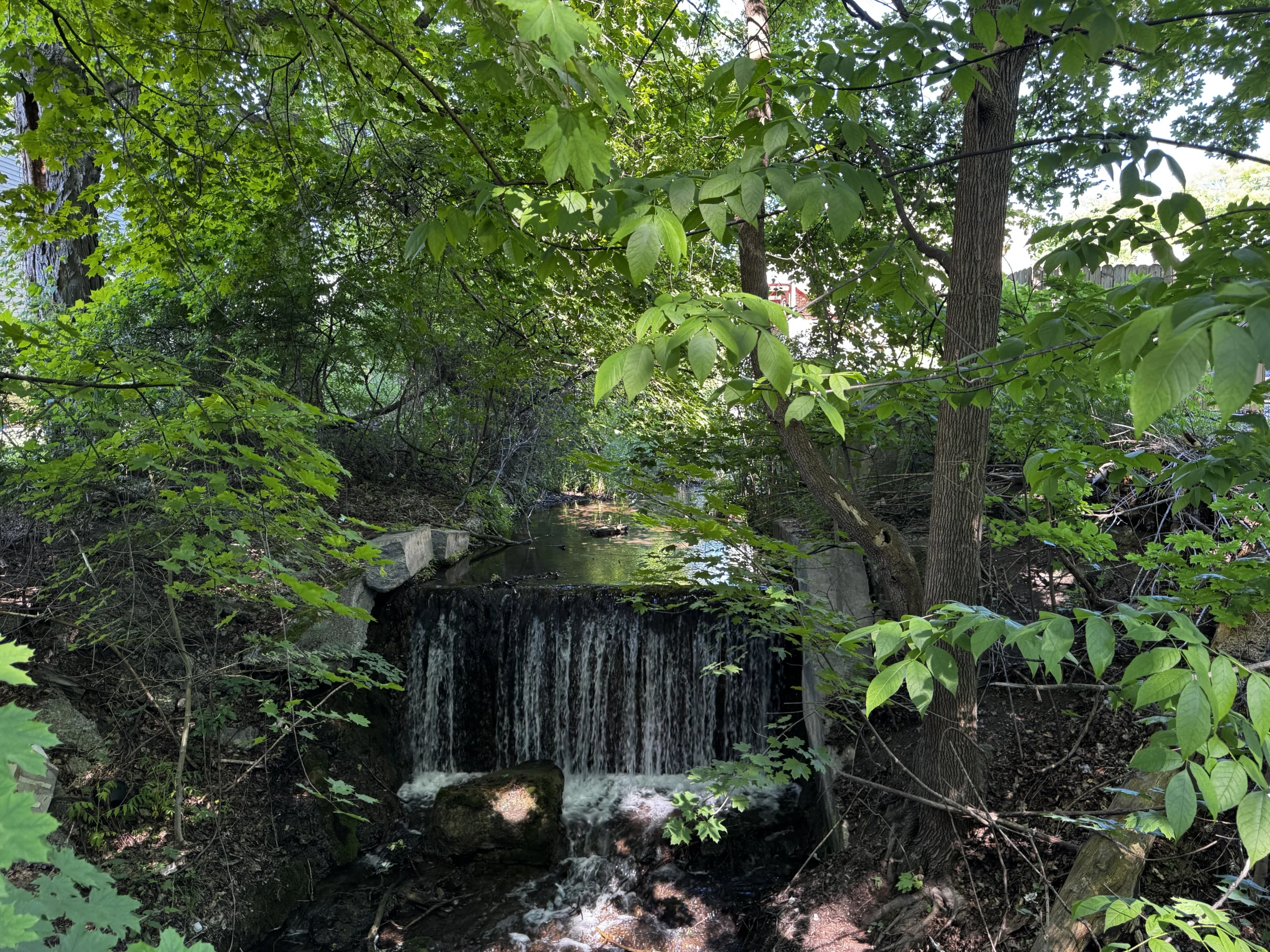
Walnut Street is a short residential connector between Clinton Street and Orchard Street on the village’s east side, crossing a canal that most Fayetteville residents know better as scenery than as infrastructure. The Ledyard Canal was built in 1849 to carry water power from Limestone Creek in the neighboring Village of Manlius down into Fayetteville, where it once ran the mills and factories that built the village’s Genesee Street business district. According to the village’s own description of the waterway, the canal drops through a series of falls totaling more than 100 feet as it descends from Manlius Springs and Perry Springs into Beard Park Pond. The Ledyard Canal Greenway, a walking corridor that threads past Beard Park, Grover Cleveland Honors Park and Washington Park, follows roughly the same route the bridge now interrupts for drivers. The village notes the greenway itself “is not established for recreational use at this time,” even as residents already use the path informally to view the waterfalls.
The bridge sits within a few blocks of East Genesee Street, which carries New York State Route 5 through the heart of the village. That intersection of local infrastructure and state highway matters this summer because the village is simultaneously absorbing a second state related document: a technical memorandum on the Route 5 corridor, posted to the village website on July 21. The village’s description of the memo says it addresses “transportation and Smart Growth Opportunities” tied to growth in Onondaga County, and that Syracuse Metropolitan Transportation Council staff coordinated directly with village representatives and the New York State Department of Transportation. The village’s own summary states that “residents continue to be concerned about congestion & the impact it has on daily life,” a line drawn from the memo itself rather than from any single resident’s comment.
That 2026 memo builds on a longer paper trail. SMTC’s publication library lists a “Fayetteville Route 5 Transportation and Land Use Analysis” dated 2018, an earlier study of the same corridor available on the council’s website. The village has not published the full text of the newer memo, so it is not possible from public records alone to say what specific changes, if any, it recommends beyond the congestion finding the village chose to highlight.
The 2018 study’s own baseline data offers a useful comparison point. Citing the New York State Department of Transportation’s Traffic Volume Report, the 2018 analysis found that Annual Average Daily Traffic on segments of Route 5 through the Town of Manlius had, in the report’s own words, “generally declined over the past 10 years” between 2000 and 2016, with the most recent NYSDOT estimates available to that study showing declines or only minimal increases. The same 2018 study also examined the potential for roundabouts at the Route 5, Route 257 and Salt Springs Road intersection, one of the corridor’s more complex junctions, as one option considered for the eastern approach into the village center. Whether the new 2026 memo revisits those declining traffic counts, the roundabout option, or reaches different conclusions is not something the village’s public summary answers. The village has posted only a description of the memo’s congestion finding, not the document itself.
The Route 5 memo and the Walnut Street closure are both playing out against the backdrop of a zoning rewrite that has been underway far longer than either. According to the village’s zoning update page, the project began in October 2024 and has moved through a visual preference survey, focus group meetings, office hour sessions and two public open houses, one in October 2025 and a second on May 6, 2026 at the Center for Active Adults. At that May meeting, consultants from the project’s lead firm, EDR, and members of the village’s Zoning Committee were on hand to answer questions about the draft ordinance, an updated zoning map, a new use table and revised dimensional regulations.
The village set a public comment deadline of June 1, 2026, directing residents to reach steering committee contact Jane Rice or the village office at 315-637-9864. The draft was formally presented to the Village Board of Trustees on June 22, four days before the Walnut Street bridge notice went up. The zoning update page states that before any adoption vote, the board still has to complete a State Environmental Quality Review, request comments from the Onondaga County Planning Board, and hold further public comment opportunities. As of this writing no adoption date has been published, and copies of the draft ordinance, map, use table and dimensional regulations remain available for review in person at Village Hall, the Fayetteville Free Library and the Center for Active Adults.
The zoning rewrite is not EDR’s first assignment for the village. According to the village’s own zoning update page, EDR previously developed Fayetteville’s Comprehensive Plan, the guiding land use document the new zoning code is meant to implement. Much of what that code will regulate sits inside or beside the Genesee Street Hill-Limestone Plaza Historic District, a 42-building district along East Genesee Street listed on the National Register of Historic Places in 1982 and dating mostly from 1820 to 1885. The district runs from Limestone Plaza, near the commercial buildings by Limestone Creek, up East Genesee Street Hill to two churches at its eastern edge, and includes the boyhood home of U.S. President Grover Cleveland. A New York State historic marker for that boyhood home stands within a few blocks of the Ledyard Canal and the closed Walnut Street bridge, on the same short stretch of streets this summer’s civic activity has touched.
Zoning is not an abstract exercise for a village of Fayetteville’s size. The 2020 Census counted 4,225 residents living within the village’s 1.7 square miles, a footprint that has been built out for most of its history; the village was incorporated in 1844. By CNY Signal’s calculation, dividing that population by the village’s land area works out to roughly 2,485 residents per square mile, a density that helps explain why a single site plan review, like the one the Planning Board took up this month, draws close attention from neighbors along Genesee Street.
That Planning Board meeting, held August 3 at 7 p.m. in the Village Hall boardroom and streamed live on the village’s website, had a single substantive item on its agenda: a site plan approval and sign permit application for a business called Little Roots, proposed for 511 East Genesee Street, tax parcel 009-04-08.1. The agenda, posted by the board under Chairperson Scott Dumas and Deputy Chair Dan Reisman, does not describe the nature of the business beyond the site plan and sign permit request, and the board’s second agenda item was simply to approve minutes from its previous meeting on July 6. The full board listed on the agenda includes members Jo Anne Falco and Catherine Chapman, associate members John Boyd, Chris Fiello and Jim O’Connor, and Ted Spencer as village attorney. No vote outcome had been posted to the village’s agenda center as of this writing.
The Village Board of Trustees, separately, held a special meeting on August 5 at 8 a.m. at Village Hall, 425 East Genesee Street, for the narrow purpose of approving payment of Abstract 4, a routine bill-paying session called by Village Clerk Karen Shepardson in a notice dated July 29. The board’s next regular meeting is scheduled for August 17. Village services scheduled for the rest of the month include an advance-scheduled bulky trash pickup on August 12 and a community event, Party in the Plaza, on August 20.
Taken together, the documents the village has posted since late June describe a small municipality managing three separate processes at once: an infrastructure closure with no public end date, a years-long zoning rewrite now headed into state environmental review, and a state-level look at the traffic corridor that runs through the village’s commercial core. None of the three is unusual on its own for a village of Fayetteville’s size. What is notable, based on the village’s own public record, is that all three converged inside the same eight-week window this summer, from the June 22 zoning presentation through the June 26 bridge closure to the July 21 Route 5 memo and this month’s Planning Board and Trustee meetings.
Residents who want the underlying documents can find the zoning draft, the Route 5 corridor memo reference, the Walnut Street bridge notice and all Planning Board and Board of Trustees agendas posted at fayettevilleny.gov, or in person at Village Hall on East Genesee Street.
Sources and verification
This story is based on documents published directly by the Village of Fayetteville, the Syracuse Metropolitan Transportation Council and the U.S. Census Bureau, all fetched and reviewed for this article. The population density figure is labeled above as CNY Signal’s own calculation from published Census figures. No fact in this story is attributed to an unnamed source, and no figure was estimated where an official published number was available.