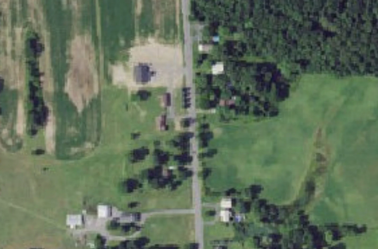
The County Butler operates at 8075 Plainville Road today. The owner is asking the town to extend a small business district 278 feet north to cover an existing barn. Nothing on the ground would change.
There is a retail shop operating out of a farm property at the corner of Plainville Road and West Genesee Road in Lysander. The zoning on the parcel does not quite cover all of it.
This story came from public records we pulled ourselves
Get the next one, plus overnight incidents, in your inbox at 6 AM. Free, no spam.
The owner wants to fix that, and the Onondaga County Planning Board reviewed the request on August 5 as case Z-26-183. The applicant is Leo R. Duger, Jr. The referring board is the Town of Lysander Town Board, because a zone change is a legislative act only the elected board can take.
The request is narrow. A 200 by 278 foot portion, about 1.27 acres, of a 17.87 acre parcel would change from Agricultural to the Neighborhood Residential-Business District, written NR-BD in the town code.
The purpose, in the county’s words, is to accommodate an existing business.
What is there now
Per aerial imagery, county staff describe the parcel as containing a one story house and multiple barns, backed by active agriculture, with a wooded area along the rear boundary.
The retail establishment The County Butler currently operates on site. No changes to the site are proposed at this time.
That last sentence is the whole character of this application. There is no new building, no new parking lot, no new driveway. The request is to make the zoning line match a use that is already happening.
The parcel is already split in two
This is not a request to introduce commercial zoning to a farm. It is a request to extend commercial zoning that is already on the property.
Per the town zoning map dated 2022, the area around the intersection of Route 370 and Plainville Road is zoned NR-BD along the road frontages, surrounded by parcels zoned Agricultural. The subject parcel and two adjacent parcels are split-zoned, with the portion along the road already in NR-BD.
Per the proposed zone change map dated June 1, 2026, the existing house and barn in the southeast corner of the parcel already sit inside the NR-BD portion.
What the applicant proposes is to extend that NR-BD portion north by 200 by 278 feet, to include an existing barn.
So the shop and the house are already in the business district. A barn 278 feet further north is not. The application moves the line.
The building the application does not cover
County staff flagged one thing worth carrying into the town’s review.
There is another barn or garage structure to the rear of the building, which is not included in the proposed NR-BD area. And the staff report adds: it is unclear if this building is utilized for business use.
That is a fair question for a town board to ask directly. If a rezone is being done to align zoning with actual use, the sensible time to establish the full extent of that use is now, rather than returning for another boundary adjustment later.
It is also the kind of thing that is easy to answer. Someone asks the applicant what is in the back barn.
What NR-BD actually permits
The town code describes the district’s intent plainly. It is meant to permit limited retail, personal and office uses within a residential area, where business uses of a size, appearance and type compatible with residential uses may coexist in close proximity with dwellings.
In practice the district allows reduced lot sizes and setbacks compared with Agricultural zoning, and permits small commercial uses subject to what the code calls controlled site review.
The permitted use list reads like a description of a rural crossroads. Boutiques and specialty retail shops. Meat markets. Fish markets. Specialty food shops. And a category the code spells out at length: coffee shop, bakery shop, confectionary shop, donut shop, sub shop, pizza shop, delicatessen and the like, provided the products prepared or processed on the premises shall be sold only at retail and only at the premises.
That final clause is the important restriction. Whatever is made there has to be sold there, at retail. It is a district written for a shop, not for production and distribution.
The farms next door
The county’s jurisdiction on this case came from three triggers at once, and one of them is unusual.
Under General Municipal Law Section 239-m, the referral was required because the site sits within 500 feet of Route 370, a state highway, within 500 feet of Plainville Road, a county highway, and within 500 feet of a farm operation located in a New York State Agricultural District.
That third trigger exists to protect farming. Per GIS mapping, the adjacent parcels to the west and east are enrolled in New York State Agricultural District 3 and appear to contain active farmland.
An Agricultural Data Statement dated July 16, 2026 was included with the referral materials. That document is a required disclosure when a proposed action sits near land in an agricultural district, and it exists so a board considers effects on neighboring farm operations before it acts.
Here the answer is fairly clearly benign. Extending a small business district to cover a barn on a property that is already partly commercial, with no site changes proposed, is not the kind of action that pressures a working farm. But the statement is on file and the board is required to weigh it.
What the county decided
The board determined the referral will have no significant adverse inter-community or county-wide implications and may be acted on solely by the referring board. That is the lightest outcome in county review: no modifications, no conditions.
The vote was recorded as Marty Voss yes, Michael LaFlair yes, Marty Masterpole yes, Craig Dennis yes, Renee Dellas yes, Don Radke yes and Kevin Casserino yes. Seven to nothing. The motion was made by Don Radke and seconded by Michael LaFlair.
The only prior county review on this land was subdivision referral S-17-41, which redistributed lands from a 48.35 acre parcel to three neighboring lots.
Why the zoning did not already match
It is reasonable to ask how a shop ends up operating with part of its property in the wrong district. The answer is usually time.
Zoning maps in rural towns were drawn decades ago, often around road frontages rather than around property lines or buildings. A district boundary set 200 feet back from a road makes sense on paper and cuts arbitrarily across barns, driveways and yards on the ground.
Then businesses evolve. A farm sells produce from a stand, then from a barn, then adds shelves and hours, and at some point what is happening is retail. None of that requires a map change until the operator wants to formalize it, expand, finance it, or sell it.
That is typically what triggers an application like this one. A lender, an insurer or a buyer asks whether the whole operation sits in a district that permits it, and the answer turns out to be almost.
Fixing it is cheap and uncontroversial when it is done deliberately. It becomes expensive when it surfaces during a sale.
The quiet economics of a rural shop
There is a reason the permitted use list in this district is so specific about scale.
A crossroads business in a farming town serves a small catchment. It cannot support a big footprint, and a big footprint would change the character of the intersection in ways the town wrote its code to prevent. So the district permits a shop and forbids a plant, by requiring that anything produced on site be sold on site at retail.
That restriction shapes what is possible. A bakery in this district can bake and sell. It cannot bake and wholesale to a distributor. A meat market can cut and sell. It cannot become a processing operation shipping product elsewhere.
For a town, that is a reasonable trade. It gets a place to buy something without getting truck traffic. For an operator, it caps growth at the size of the room.
What a resident should take from this
If you live near the intersection of Route 370 and Plainville Road, nothing about the view changes if this passes. There is no construction proposed.
If you are a property owner elsewhere in Lysander with a split-zoned parcel, this application is a useful template. The process is a zone change request to the town board, a public hearing, a county referral because of the road and farmland proximity, and a vote.
And if you run a business on land where the zoning line does not quite reach, the lesson is the timing one. The county reviewed this in a month, found no significant implications, and sent it back to the town with a clean 7 to 0. That is what this looks like when it is handled before it becomes urgent.
Why a story about moving a zoning line
This is a small application and it will likely pass without controversy. It is worth writing about anyway, for two reasons.
The first is that it is a good illustration of how rural commercial zoning actually works in Central New York. Nobody sat down and planned a business district at Plainville and Route 370. The NR-BD strip along those frontages exists because small businesses grew up at a crossroads over time, and the zoning map was drawn around what was already there. Split-zoned parcels, with a commercial nose on the road and farmland behind, are the normal result.
The second is that it is the opposite of the pattern the county warned about elsewhere this month. In the Town of Onondaga, county planners used an eight lot subdivision to caution against fragmenting farmland into strip development. Here, a farm parcel stays a farm parcel, its rear acreage stays in agriculture, and the change is a 1.27 acre adjustment to let an existing shop use an existing barn.
For a town balancing rural character against economic activity, that is close to the least costly form of commercial growth available.
The decision belongs to the Town of Lysander Town Board. Its meetings and agendas are posted on the town website, and a zone change requires a public hearing before the board can act.
The county’s August 5 minutes, including the resolution, the recorded vote and the full staff report described here, are posted by the Onondaga County Department of Planning.
Sources
- Onondaga County Planning Board, Actions on GML Section 239 Referrals, August 5, 2026, case Z-26-183, including the resolution, the recorded vote and the full staff report: https://onondaga.gov/planning/wp-content/uploads/sites/260/2026/08/Draft-Minutes-08-05-26.pdf
- Town of Lysander Zoning Map dated 2022, Proposed Zone Change map dated June 1, 2026, and Agricultural Data Statement dated July 16, 2026, as cited in the staff report.
- Town of Lysander code provisions for the Neighborhood Residential-Business District, quoted in the staff report.
- Prior subdivision referral S-17-41, as summarized in the past board reviews section of the staff report.
- New York General Municipal Law, Section 239-m.
Every figure in this story is drawn from the records above. Links go to the primary documents.