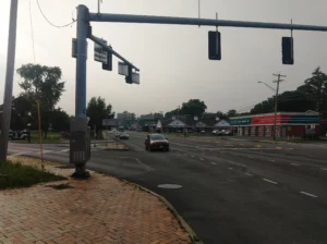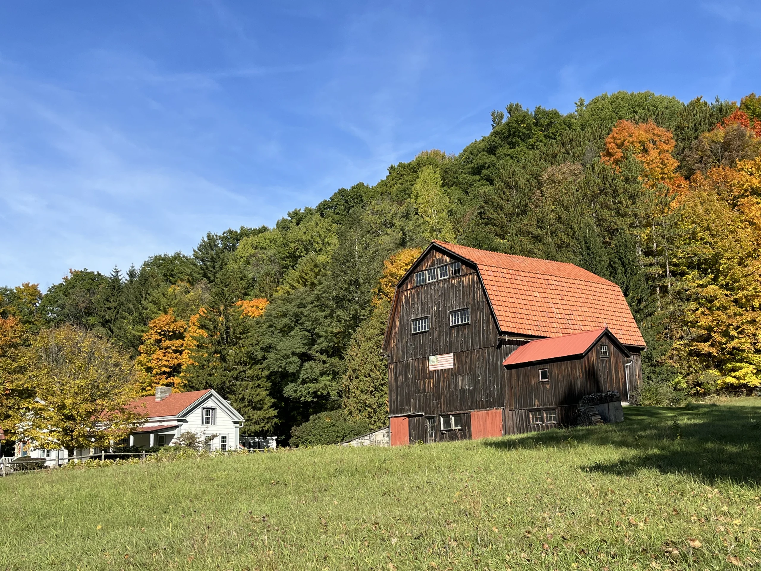
Limestone-Norton would cut 26.5 acres at Abbey and Norton Roads into eight lots strung along the road frontage. The county attached three modifications and a comment that reads like a warning about what this pattern does to farmland.
The Onondaga County Planning Board reviewed a routine-looking subdivision on August 5 and used it to say something that was not routine at all.
This story came from public records we pulled ourselves
Get the next one, plus overnight incidents, in your inbox at 6 AM. Free, no spam.
The case is S-26-25, the Limestone-Norton Subdivision, at the northwest corner of Abbey and Norton Roads in the Town of Onondaga. The applicant proposes to divide a 26.5 acre parcel into eight residential lots. The referring board is the Town of Onondaga Planning Board.
The county recommended three modifications, which is a real condition on approval. Then it added two comments, and the first one is a paragraph about what happens to a rural town when this keeps happening.
The eight lots
The subdivision map is dated June 8, 2026, and the lots are laid out primarily west to east along Norton Road.
Lot 1 is 3.33 acres. Lot 2 is 3.32. Lot 3 is 3.36. Lot 4 is 3.34. Lot 5 is 3.21. Lot 6 is 2.58. Lot 7 is 2.57. Lot 8 is 3.27.
That is 24.98 acres of lots carved from a 26.5 acre site, averaging just over three acres apiece.
Lots 1 through 4 are rectangles. Lot 5 is a flag lot, reaching Norton Road through a 20 foot wide panhandle. Lot 8 is the only lot whose frontage is on Abbey Road rather than Norton.
Two of the eight lots already contain houses. And the staff report notes something that matters for anyone trying to picture the outcome: the type of residential use is not specified.
The land sits in two zoning districts at once, Agricultural-Residential and Residential and Country. County staff describe the surrounding area as the center of the town, characterized by low density residential and large parcels holding agriculture, woodlands or both.
The comment that is really an argument
Most county comments are procedural. This one is a position.
The board wrote that it strongly encourages the town to consider the potential long-term effects of land fragmentation and large-lot, strip subdivisions along road frontages, particularly as that relates to the economic viability of agricultural lands and to farm and agricultural zoning districts.
Then it listed what can accumulate: conflicts with agricultural operations, changes to rural character, increased public service demands and costs, reduction of open space and farmland, and impacts to road safety and mobility.
The word doing the work there is cumulatively. No single eight lot subdivision ends farming in a town. The county’s point is that this shape of development, lots lined up along an existing road frontage because that is where the road and the utilities already are, is how it happens without anyone deciding it.
The board did not stop there. It named alternatives: cluster subdivision, cottage-style development, or multi-family structures.
Those are all ways of putting the same number of homes on less of the land, leaving the remainder intact. It is a specific planning recommendation, offered on a specific application, to a town that will decide this one on its own.
Why strip subdivision is the default
It is worth being fair about why applicants do this.
A lot fronting an existing county road needs no new road. No new road means no road construction cost, no drainage infrastructure for it, no dedication of a right of way to the town, and no future municipal maintenance obligation. Each lot gets its own driveway to the existing pavement.
A cluster subdivision, by contrast, usually needs an internal road, which costs money up front and creates something the town has to plow.
So the economics point one direction and the planning goals point the other. That tension is the entire content of the county’s comment, and it is not unique to this parcel. It is the standard condition of rural land in a county with growth pressure.
The county also pointed the town toward its own process. Its second comment encourages the town to ensure the applicant follows the County Subdivision process, which requires information such as wastewater disposal and road access to be planned before the subdivision is filed with the County Clerk. The board cited the county’s published subdivision guide by name.
The three modifications
Unlike the comments, the modifications carry weight. A local board approving over a recommended modification faces a higher voting threshold under state law.
The first is sewage. The Onondaga County Health Department’s Bureau of Public Health Engineering must formally approve a sewage disposal plan for the proposed lots before the department endorses the subdivision.
That single sentence tells you these lots are on septic. Public drinking water is available, and the applicant proposes new connections to it, since Onondaga County Water Authority water runs along Norton Road. Wastewater is a different story, and eight new septic systems on roughly three acre lots is exactly the situation the Health Department exists to sign off on.
The second is roads. The county transportation department requires the applicant to submit plans and coordinate Norton Road and Abbey Road access, and those plans must include existing or proposed driveways and sight distances. Any mitigation the department determines has to appear on the project plans before the town approves.
Sight distance is not a formality on a rural county highway. Every lot except Lot 5 shows an existing or proposed driveway onto Norton or Abbey Road, which means the subdivision adds driveways to two county roads at whatever speeds traffic actually runs there.
The third is completeness. The filed subdivision plan must include enough information to verify the proposed parcels are buildable lots. The county lists what it wants: building setbacks, driveway access, wells and septic systems including the required separation between them, plus any waterbodies, delineated wetlands and buffers, or other natural features of significance.
The phrase required separation is the important one. A well and a septic field have to be kept a regulated distance apart, and on lots this size with both on the same parcel, the geometry has to be demonstrated rather than assumed.
The vote
The motion was made by Kevin Casserino and seconded by Don Radke. The recorded votes were Marty Voss yes, Michael LaFlair yes, Marty Masterpole yes, Craig Dennis yes, Renee Dellas yes, Don Radke yes, and Kevin Casserino.
County jurisdiction attached under General Municipal Law Section 239-n, which covers subdivision approvals, because the site lies within 500 feet of Norton Road, County Route 242, and Abbey Road, County Route 212.
Two zoning districts on one parcel
A detail easy to skim past: this parcel sits in two zoning districts at once, Agricultural-Residential and Residential and Country.
Split-zoned parcels are common in rural towns, usually because district lines were drawn along features or road frontages that do not match property boundaries. They complicate a subdivision, because different parts of the same land can carry different minimum lot sizes, setbacks and permitted uses.
It also sharpens the county’s comment. When part of a property sits inside an agricultural district, cutting it into three acre residential lots is precisely the fragmentation the board described. The agricultural designation is meant to keep land in a condition where farming remains economically possible. Eight houses along the frontage changes what the remainder can be used for, and who is next door when someone runs equipment at six in the morning.
The paperwork sequence, and why it matters here
The county’s second comment points the town at a specific procedural fix, and it is worth explaining because it is the difference between problems caught early and problems discovered by a homeowner.
The county subdivision process requires information such as wastewater disposal and road access to be planned before the subdivision is filed with the County Clerk. Filing is the step that makes the lots real as legal parcels.
If a lot is filed and only later turns out not to support a septic field at the required separation from its well, or not to have a driveway location with adequate sight distance, the lot still exists on paper. It just may not be buildable. The person holding that problem is usually whoever bought it.
That is why the board’s third modification asks for setbacks, driveway access, wells, septic systems and their separation, plus wetlands and waterbodies, to be on the filed plan rather than worked out later. It is not paperwork for its own sake. It is the check that the eight lots being created are eight lots someone can actually build a house on.
What a reader in another town should take from this
Onondaga is not unusual. Almost every rural and semi-rural town in this county faces the same arithmetic: land along an existing road is the cheapest land to develop, and the town gets a handful of new houses without building a single foot of new road.
What makes this case worth reading elsewhere is that the county wrote the counterargument down in a public document, on an ordinary application, with named alternatives attached.
Anyone in Marcellus, Pompey, Fabius, LaFayette, Otisco or Spafford watching a similar map get drawn on their own road frontage now has language to point at, from the county’s own planning staff, describing what the cumulative version of that map costs.
What happens next
The Town of Onondaga Planning Board holds the decision. This was a preliminary subdivision referral, so there is process still to come, and the modifications have to be satisfied along the way.
For residents near Abbey and Norton, the practical questions are the ones the county already wrote down. Where each driveway lands and whether sight distance works at that spot. Whether the Health Department signs off on eight septic systems. And whether the plan that eventually gets filed shows the wells, the fields and the separation between them, or leaves it to be worked out later.
For the town as a whole, the larger question is the one in the county’s first comment. Onondaga is being told, on the record, by the county’s professional planning staff, that this pattern has cumulative costs. The board has no power to require a different design. It can only say so.
Whether the town treats that as advice worth acting on, or as a paragraph in a file, is the actual decision in front of it.
The county’s August 5 minutes, including the resolution, the modifications, both comments and the full staff report described here, are posted by the Onondaga County Department of Planning.