A Clay Rezone Would Open 18.2 Acres to Apartments. A Third of the Site Is Wetland, and No Site Plan Has Been Filed
County planners cleared the zone change 7 to 0 with comments, including a pointed one: the town’s own 2024 land use study calls this area a walkable town center, and the district being applied is a straight apartment district.
The Town of Clay is being asked to rezone a wooded parcel on Henry Clay Boulevard so that an apartment complex can eventually be built on it. What that complex looks like is not yet known, because no site plan has been filed.
This story came from public records we pulled ourselves
Get the next one, plus overnight incidents, in your inbox at 6 AM. Free, no spam.
The Onondaga County Planning Board reviewed the request on August 5 as case Z-26-178. The applicant is Mark W. Cron. The referring board is the Town of Clay Town Board, because a zone change is a legislative act. The referral was received July 14, 2026, with a 30 day deadline of August 13.
The request is to change an 18.2 acre parcel from RA-100, Residential Agriculture, to R-APT, the Residential-Apartment District.
The county determined the referral will have no significant adverse inter-community or county-wide implications, and attached four comments. The vote was 7 to 0.
The most interesting of those comments is about the town’s own planning documents.
### The site, and its narrow front door
The parcel sits on the east side of Henry Clay Boulevard, a county road carrying Route 121, north of Route 481 and south of Route 31.
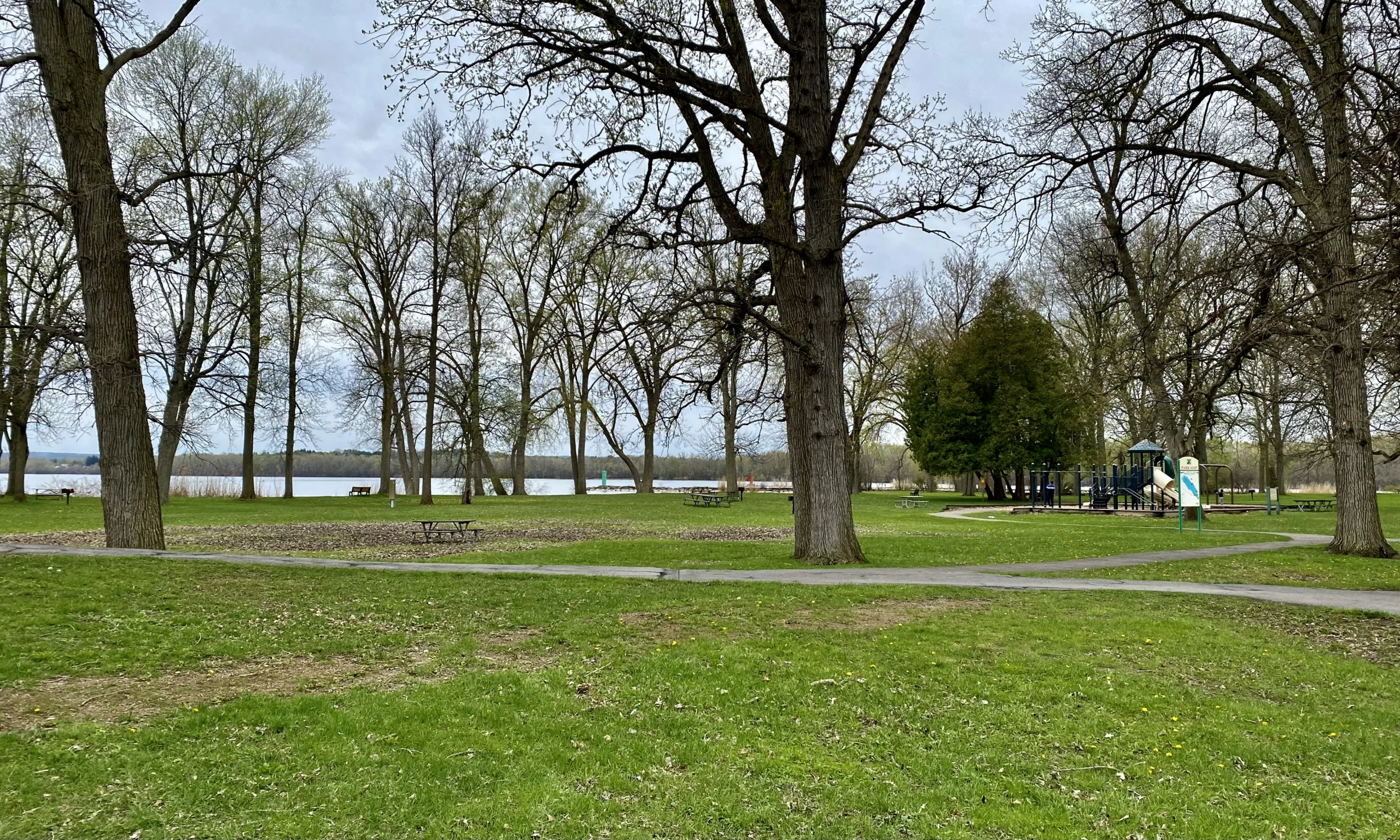
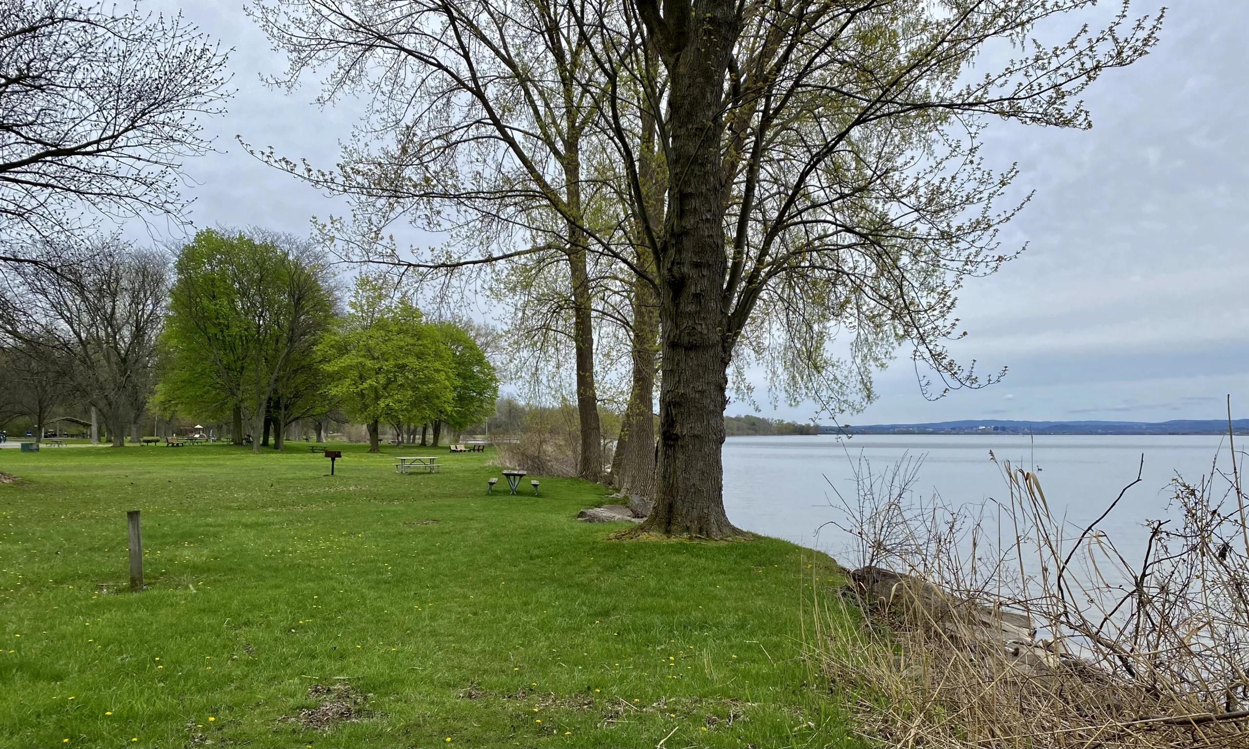
County staff describe the surrounding area as large vacant parcels containing either woodlands or agricultural land, with residential uses along the roadways and occasional residential developments in between. The site itself is wooded.
One dimension in the staff report stands out. The parcel has approximately 200 feet of frontage on Henry Clay Boulevard.
Two hundred feet of road frontage on an 18.2 acre parcel means the land runs deep rather than wide. Whatever gets built has to reach the road through a relatively narrow opening, and every vehicle from every unit has to use it.
The standing county advisory applies: all existing or proposed driveways on Henry Clay Boulevard must meet Onondaga County Department of Transportation requirements. The board’s first comment reinforces it, requiring the applicant to submit plans and coordinate Henry Clay Boulevard access with the department, with the town ensuring any mitigation the department determines gets onto the project plans.
### A third of the land is wetland
The wetlands finding is the most concrete constraint in the file, and it is unusually well documented for a rezone.
A wetland delineation was conducted by Delta-EAS on November 20, 2025, and appears on a topographic survey dated March 16, 2026. It identifies two wetland areas on the site.
Wetland Area A covers 6.13 acres. It encompasses the rear of the site along with a portion projecting into the center. Wetland Area B covers 0.24 acres in the southwest corner.
The Environmental Assessment Form dated July 9, 2026 puts the total at 6.4 acres of the site encumbered with wetlands, and states the proposal will result in a reduction of 0.1 acres of wetlands.
Against an 18.2 acre parcel, 6.4 acres is roughly 35 percent of the land.
GIS mapping also shows a federally regulated stream or wetland crossing the rear of the site, along with possible state wetlands. The board’s third comment requires the town to ensure the delineated wetlands have been confirmed by the U.S. Army Corps of Engineers and the state Department of Environmental Conservation, and that any necessary permits are obtained for development in, fill placed in, or drainage of confirmed wetlands and buffers, before the town approves the project.
Note the shape of that requirement. A private consultant drew the lines. The federal and state agencies have to confirm them.
### The comment about Clay’s own plan
The fourth comment is the one worth reading twice, because it is the county telling the town that its zoning choice and its planning document are pointing in different directions.
Per the Town of Clay Land Use Study from 2024, which the county describes as evaluating current land uses and providing a framework for future zoning changes and development standards, this area is designated for Town Center development and Medium Density Residential.
The study defines Town Center as including a mix of uses in a central location to create a sense of place and destination for the community, including a mix of denser mixed uses spanning residential, commercial, office, entertainment, cultural and institutional.
It defines Medium Density Residential as a neighborhood of single-family attached and detached homes, typically between three and four dwelling units per acre, characterized by medium-sized lots and moderate density.
The district being requested, R-APT, is defined in the town code as intended to permit multiple-family residential and supportive nonresidential development on sites served by both public water and sewers.
So the county wrote this: the town and applicant are encouraged to ensure that zoning applied to the site allows for and fosters the mixed-use environment and scale of development desired in this location.
That is planning-board language for a real question. Clay spent 2024 producing a study that says this area should become a walkable, mixed use town center. The rezone in front of the board applies a district built for multiple-family residential with supportive nonresidential uses. Those are not the same thing, and the county noticed.
### Rezoning before designing
The other structural feature of this application is that it arrives without a plan.
The staff report states the applicant is requesting the change to allow future construction of an apartment complex, and notes that further details, including a site plan, will be submitted in the future.
That sequence is legal and common. Zoning establishes what may be built; site plan review establishes what actually gets built. A developer often wants the zoning settled before spending on engineering.
It also means the town board is being asked to decide what this land can become without seeing how many units, how they are arranged, where the driveway lands, or how the buildings avoid 6.4 acres of wetland.
The county’s second comment anticipates part of that gap. The applicant must provide an adequate wastewater disposal plan, and the appropriate sewer or septic approvals must be obtained from the county Department of Water Environment Protection or the county Health Department respectively.
The either-or in that sentence matters. R-APT is defined as a district for sites served by both public water and sewers. Whether this particular parcel has public sewer service, or would need septic, is not resolved in the file. The county wrote the comment to cover both outcomes.
### What the vote was
The board determined no significant adverse inter-community or county-wide implications and offered the four comments described above. Comments, unlike modifications, carry no heightened voting threshold for the town. They are advice.
The motion was made by Don Radke and seconded by Craig Dennis. The recorded votes were Marty Voss yes, Michael LaFlair yes, Marty Masterpole yes, Craig Dennis yes, Renee Dellas yes, Don Radke yes and Kevin Casserino yes. Seven to nothing.
County jurisdiction attached here because the site is within 500 feet of Henry Clay Boulevard, a county highway. Under General Municipal Law Section 239-m, that proximity pulls the zoning amendment into county review.
### What RA-100 protects now
It is worth being precise about what the parcel is zoned today, because that is what the rezone gives up.
RA-100 is Residential Agriculture. Districts of that type exist to keep low-intensity uses on land that has not been brought into the water and sewer system yet, and they generally carry large minimum lot sizes. The county’s own description of the surrounding area fits that: large vacant parcels of woodland or agricultural land, with houses scattered along the roads.
R-APT sits at the other end of the residential range. It is written for multiple-family buildings on serviced land.
The jump from one to the other on a single 18.2 acre parcel is the whole substance of this application. Everything else, the wetlands, the driveway, the missing site plan, is a consequence of that jump rather than a separate issue.
### Why the county sees a Clay zoning case at all
Residents sometimes assume a county planning board can overrule a town. It cannot.
Under General Municipal Law Section 239-m, certain local land use actions have to be referred to the county before the local board acts. The trigger is geographic. Proximity to a county or state road, a county facility, a municipal boundary, or certain other features pulls the action into county review.
The county then does one of three things. It can find no significant inter-community impact, which lets the local board act alone. It can find no significant impact but attach comments, which is what happened here. Or it can recommend modifications, which raises the threshold for a local board that wants to approve anyway.
The distinction matters for how much weight to give the town center comment. It is the county’s professional view, entered into the public record, with no legal force behind it. Whether it changes anything depends entirely on the Clay town board.
### What to watch
Three things will determine what actually happens on these 18.2 acres.
The first is whether the Army Corps and the state confirm the Delta-EAS delineation. If the confirmed wetland footprint grows, the buildable area shrinks, and the number of units the site can hold shrinks with it.
The second is the site plan, whenever it arrives. That document answers the questions the rezone leaves open, and it is a separate review with its own opportunity for public comment.
The third is whether the town takes the county’s fourth comment seriously. Clay commissioned a land use study in 2024 that describes this area as a future town center. A rezone is the moment when a study either shapes an outcome or gets filed away. If the town wants mixed use here, the zoning is the tool, and this parcel is the test.
The Town of Clay Town Board holds the decision. Its meetings and agendas are posted on the town website. The county’s August 5 minutes, including the resolution and the full staff report described here, are posted by the Onondaga County Department of Planning.